Why driverless AI is changing autonomous navigation now
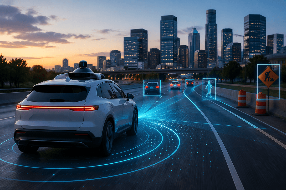
Most people hear “driverless AI” and picture a car that suddenly understands every road. The real change is narrower and more practical: newer systems are better at turning messy, ambiguous scenes into stable driving decisions without leaning on perfect maps or hand-tuned rules. They handle routine variation—odd lane markings, construction barrels, aggressive merges—more consistently because the “policy” is learned from large-scale driving data rather than coded one scenario at a time.
That doesn’t mean unlimited autonomy. Performance still depends on the operating domain (weather, speed, road type), onboard compute, and how often the system hits rare edge cases it wasn’t trained on. The credibility test is whether improvements show up in measurable outcomes—fewer interventions, safer gap selection, smoother braking—not just impressive demos.
Navigation isn’t one problem: where systems usually fail
Watch a human drive for five minutes and you’ll see why “navigation” is a bundle of smaller jobs: staying in lane, tracking other actors, predicting intent, choosing a route, and negotiating right-of-way. Many autonomy failures come from the seams between these jobs. A perception system might detect a cyclist, but the prediction module misreads whether they’ll merge. The planner might know the right move, but not trust the estimate enough to commit, leading to hesitant braking that confuses everyone else.
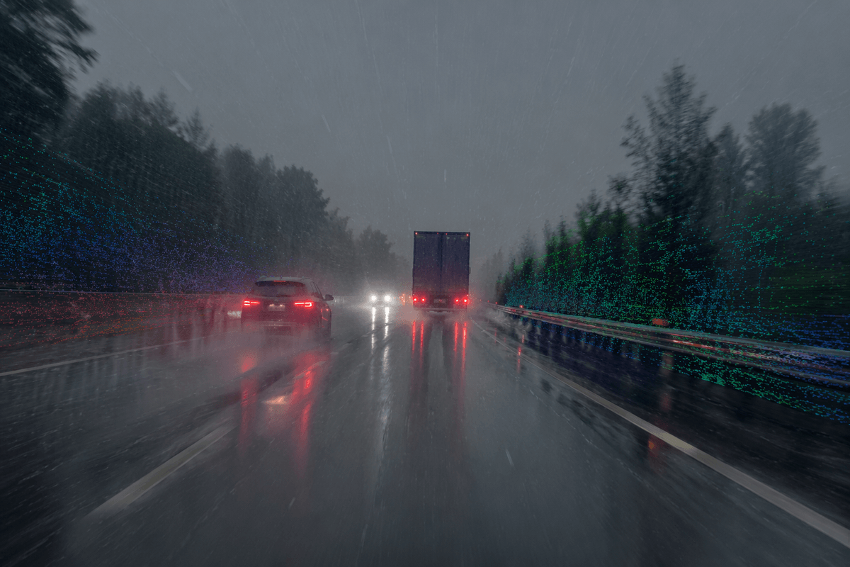
Edge cases aren’t just rare stunts; they’re everyday ambiguity: a faded left-turn pocket, a temporary stop sign, a pedestrian hovering near the curb, or a police officer waving traffic through. Systems also fail when assumptions break—GPS drift near tall buildings, glare washing out cameras, or heavy rain degrading lidar returns. Fixing this usually costs real money: more sensors and compute, more diverse training data, and slower rollout to keep the operating domain tight.
From sensors to state: turning messy inputs into understanding
On the road, the hard part isn’t “seeing” a car or a cone; it’s deciding what those pixels and point clouds mean right now. A plastic bag can look like debris worth braking for. A shadow can look like a curb. A pedestrian at the edge of a crosswalk might be waiting, or might be about to step in. Turning sensors into a usable “state” means building a consistent, moment-to-moment picture of what exists, where it is, and how reliable that estimate is.
Modern stacks lean more on learned fusion and tracking: combining cameras, radar, lidar (when present), and vehicle motion into a single world model, then carrying it forward over time so the system doesn’t “forget” when something is briefly occluded. The practical improvement is less flicker—fewer frame-to-frame identity swaps, fewer phantom obstacles, and more stable lane boundaries—so the planner can commit to smoother, safer actions.
Bigger models and richer temporal memory cost power, add latency risk, and can fail in new ways if sensor calibration drifts or a rare weather pattern shifts the input distribution.
Training that actually matches the road: data, labels, simulation
A common failure pattern is “it drove great in the demo city” because the training diet didn’t match the messy variety of real operations. The newest driverless AI approaches push harder on coverage: more miles from more regions, times of day, and weather, plus targeted collection when telemetry shows repeated confusion (unprotected lefts, merges near on-ramps, work zones). That matters because navigation errors often come from distribution shift—small differences in signage, lane geometry, or local driving norms that never appeared in the original dataset.
Labels are the expensive choke point. It’s one thing to tag cars and lanes; it’s harder to label intent, right-of-way, and “this object is relevant” in borderline situations. Teams reduce cost with auto-labeling, self-supervised learning, and active learning that sends only the most informative clips to humans, but quality control becomes its own program.
Simulation fills gaps, but only when it’s used as a test harness, not a fantasy world. The useful version stresses the system with controlled variations—sensor noise, glare, near-misses—and checks whether performance metrics degrade gracefully rather than collapsing.
Making safe choices in real time under uncertainty
You’ve probably seen a cautious autonomy demo that “plays it safe” by braking too much. That’s uncertainty showing up in behavior: the system isn’t sure whether the object ahead is a plastic bag or a stalled car, or whether the oncoming vehicle will yield. Real-time driving is a constant trade between acting early enough to be safe and acting confidently enough to be predictable to others.
Stronger driverless AI tends to improve this by planning with probabilities instead of single guesses. Rather than assuming one future, it tracks several plausible motions for nearby actors, weights them by confidence, and chooses actions that stay safe across the set. A practical example is an unprotected left: the system can creep for visibility, reserve an escape path, and only commit when the gap is safe even if an oncoming car is slightly faster than expected.
More “what if” evaluation costs compute, and conservative thresholds can reduce throughput or annoy human drivers, especially in dense urban traffic where hesitation creates its own risk.
Proving it works: metrics, testing, and safety assurance
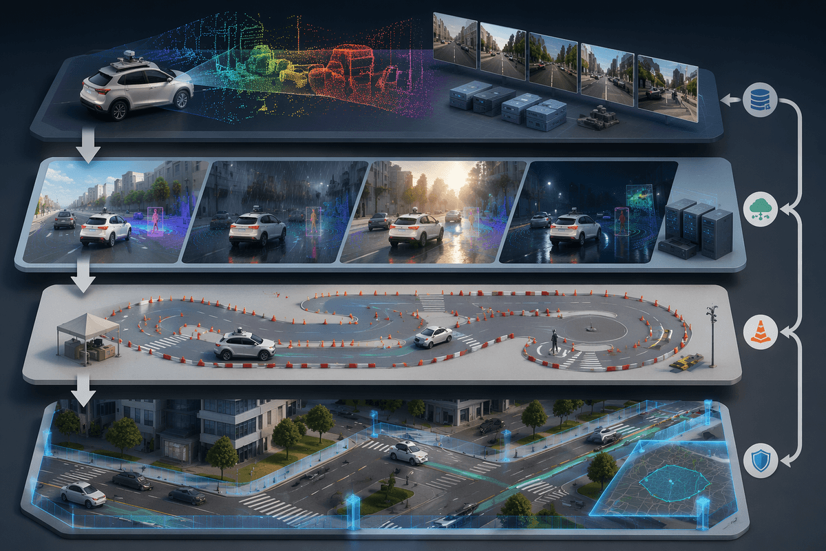
In practice, credibility comes from numbers that stay good when conditions change. Leaders should ask for intervention rates normalized by miles and by scenario type (merges, unprotected lefts, work zones), not a single headline figure. Disengagements also need taxonomy: a safety-critical takeover is different from a comfort-related handoff. Another useful lens is “rule compliance with context,” such as stopping correctly at a temporary stop sign without freezing when the road is actually being directed by a flagger.
Testing is a layered pipeline: offline replay on logged sensor data, simulation for controlled perturbations, closed-course for repeatable edge cases, then limited on-road pilots with tight operating limits. Each layer should be tied to clear acceptance gates and regression checks so a model update doesn’t quietly reintroduce an old failure mode.
Safety assurance adds the uncomfortable parts: proving the system can detect when it’s out of its depth, enter a minimal-risk condition, and document why. This costs time and money because it requires traceability from requirements to tests, plus ongoing monitoring after deployment.
Deployment reality: maps, compute, costs, and the ODD boundary
Even the best driving model has to live inside a deployment budget. High-definition maps can reduce ambiguity around lanes and stop lines, but they add a maintenance treadmill: construction, repaving, and new signage can make yesterday’s map quietly wrong. Map-light approaches shift the burden to onboard perception, which raises compute needs and makes sensor health (clean lenses, calibration drift, radar misalignment) a day-to-day operations concern rather than a lab detail.
Compute is the hidden limiter. Bigger models usually mean more power draw, heat, and cost, and that can force trade-offs like fewer sensor modalities, lower frame rates, or smaller safety margins to keep latency down. The practical question is the ODD boundary: where, exactly, the system is allowed to drive—specific roads, speeds, weather, and behaviors—and how reliably it detects when conditions have crossed that line and hands off or pulls over.
What to expect next—and how to judge real progress
In the near term, expect progress to look less like dramatic new capabilities and more like fewer “soft failures”: less hesitation at merges, fewer phantom brakes, and cleaner handling of construction and local signage quirks. The biggest gains will come from tighter feedback loops—fleet telemetry that finds recurring confusion, targeted data collection, and faster regression testing—rather than a single breakthrough model.
To judge real progress, ask for evidence that transfers: scenario-normalized intervention rates across cities and weather, safety-critical vs comfort disengagement breakdowns, and performance when maps are stale or missing. Also ask what it costs—compute per vehicle, sensor cleaning/calibration burden, and how often the system hits the ODD boundary and must pull over or hand off.